

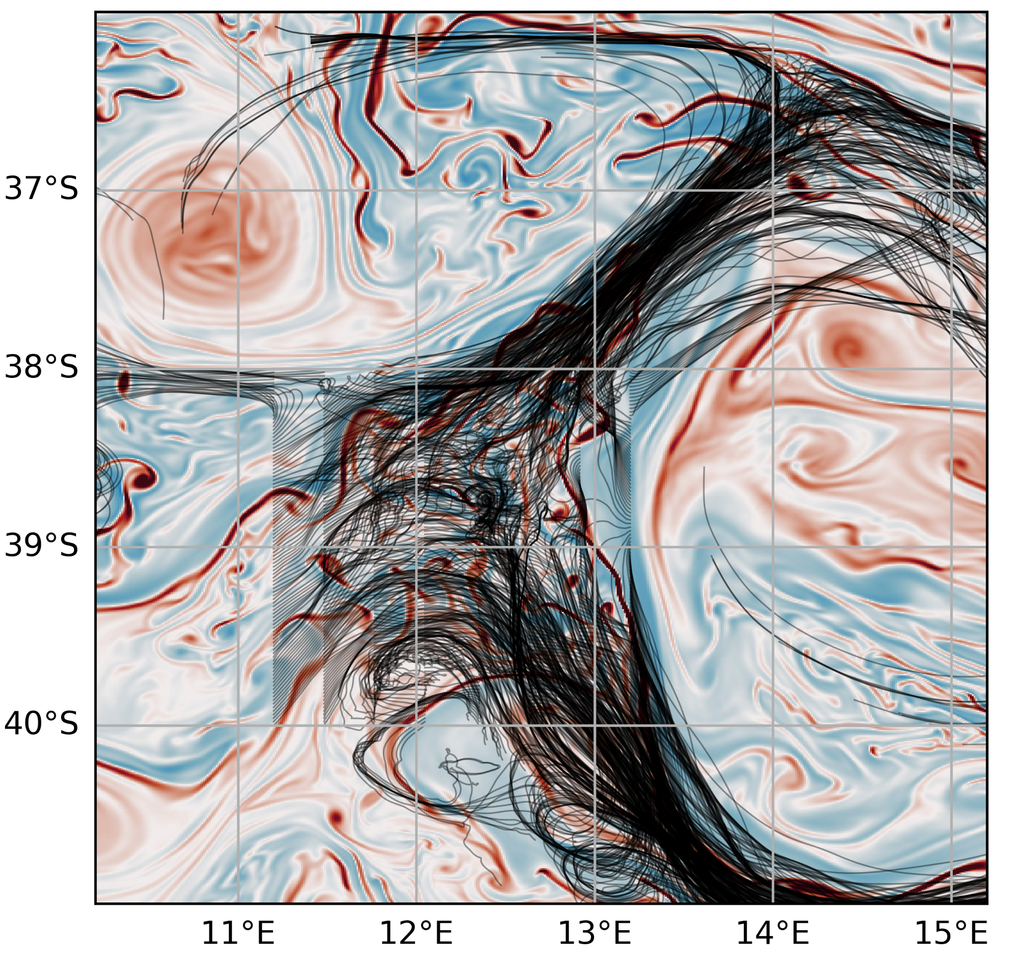
Within WHIRLS, the group of Prof. Arne Biastoch at GEOMAR Kiel aims to simulate the ocean of the Agulhas region as realistically as possible. Ocean simulations use high performance computers to solve a set of equations that describe the physics of the ocean, creating animations of the oceanic flow. Additionally, similar equations can be used to extend the simulations with the atmospheric or the biogeochemical cycles.
The strength of the simulations is that they provide gap-less numerical solutions for physical and biogeochemical variables over a wide range of temporal and spatial scales. This differs from the data collected during the campaign, which present multiple gaps (because of bad weather, issues in the instrumentation, limited ship-time…). Nonetheless, many observations are needed for the development and validation of ocean models. The simulated whirls agree with the real ones in a statistical sense, but deviate when compared directly to each other.
For the cruise, ocean simulations are used to support the development of the sampling strategies, the deployment of instruments, and the identification of hypotheses that are later tested with the actual observations. For example, we developed an interactive online tool which allows for running virtual deployments of drifting platforms and estimating their trajectories, taking into account the ocean currents and the actual ship speed (https://whirlsview.geomar.de/live/map/). Additionally, we deployed virtual drifters in very high-resolution ocean simulations to investigate the properties of the drifter clouds for different release regions (see the Figure above).
Furthermore, ocean simulations are used to better understand the temporal, spatial and physical evolution of observed features. They provide insights into whether an observed finding during the campaign is an exceptional event or if it can be generalized. For example, we will be able to check if the properties of the dipole we are sampling during the campaign occur in every dipole or only in specific ones. Finally, the absence of gaps in the data can be used to properly quantify the impact of processes such as transports of heat, biogeochemical tracers, and many more.
In summary, we need both ocean observations and simulations to make efficient progress in understanding the ocean and its importance. This is why, in WHIRLS, observationalists and modelers work very close together.
Authors: René Schubert and Willi Rath